Current projects for 2018
Mount Seymour
The five-year program to upgrade the increasingly popular Dog Mountain Trail, funded by Metro Vancouver, continued this summer. This area west of the trailhead is actually within the Lower Seymour Conservation Reserve. The major project to upgrade the eroded Mount Seymour Main Trail, which is still in its early stages, appears to have ground to a halt pending clarification of ‘capital projects’ funding by BC Parks, which still seems to be short of cash on the ground, despite ‘Licence Plate’ and other funds for Provincial Parks touted by Government.
Howe Sound Crest Trail
Similarly, this project was delayed from the spring as the capital funds that were committed to it were then not forthcoming, despite Friends of Cypress writing a cheque from the Halvor Lunden Foundation to match BC Parks funding. The delay, from May 2nd to September 23rd, meant that much of the dry summer weather saw no work being done. The trail crew is now repairing damage from spring runoff and heavy trail traffic, so they may reach the actual work site and do a week or two of trail construction work before the snow returns (as in 2017). Both this trail and the Dog Mountain trail are very busy, adding to delays, given that hikers must walk through the construction site, sometimes without getting the required visual contact with the equipment operator.
Black Mountain plateau
The proposal by Friends of Cypress (funded by a bequest from the late Halvor Lunden, the well-known local trail builder) to upgrade the very popular Baden-Powell trail on Black Mountain was then handed over to the Student Ranger crew in 2018, despite this funding being in place for over a year. The basic repairs we had scoped out were done in seven days of work with a six-person crew, but several years of work is still planned—without machinery—on this busy trail.
Parking and access continues to be problematic at Cypress and Seymour, as this marks the sixth year that snowshoers and backcountry skiers at Mount Seymour (who do not have a trail pass) are excluded from the ski area parking lots and are required to use the side of the highway some way below the trailhead. The plan to have a dedicated backcountry access trail on Metro Vancouver land alongside Lot 5 have not progressed, possibly due to personnel changes, so this is an item that will be revisited with BC Parks this winter.
This proposed trail only needs minor brushing out and has been walked in winter several times, so it is eminently feasible. The summer access situation is equally frustrating, with the Cypress ski operation charging hikers who are ‘late’ (past the gate closure time) $20 to unlock the gate—for example at 7:08 pm, when I was locked in recently after being unexpectedly delayed by 8 minutes while doing a full day of trail work. Equally oddly, Mount Seymour still locks their gate at sunset all summer and fall.
This may make sense from their perspective, as they obviously don’t want people wandering at midnight with break-in tools, and they need to know that day hikers are off the mountain by a reasonable hour and not stranded in the dark. But, the gate closure warning signs are either 20km down the road or by the Lot 2 Yellow Gate, at the parking area entrance, which people generally speed past on their way to find a parking spot.
Repeated suggestions from FMCBC that the ‘Sunset Gate Closure’ notice be posted on a clearly visible sign at the BC Parks Kiosk, i.e. at the main trailhead where people would see it, have not been taken up. This does not look like an efficient system for anyone, as numerous hikers either miscalculate or intend to hike a bit past sunset, and it then entails a ski area character in a Tilley hat on site going around daily just after sunset lecturing people who didn’t see the sign.
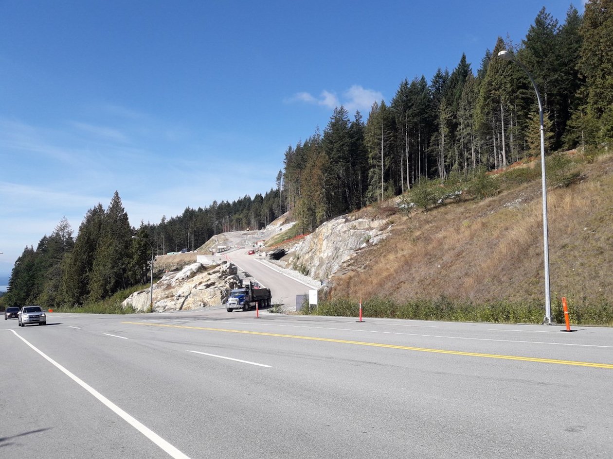
This is only the first of several developments that are dependent on the park road (a Provincial Highway) to function as a collector street for residential traffic, apparently without a traffic planning process in place. In fact, we were told at a Cypress liaison meeting that there was no plan to have a planning process for the ever-increasing traffic, including bikes, on the Cypress Bowl Road.

A new quirk at Cypress is the revelation that the first 12-storey towers are going to soon be sprouting on the Cypress Bowl Road at Kilometre 4, at 370m elevation. This will mean some form of traffic control as the development proceeds. However, this is not actually worked out as yet even though the subdivision streets are built and the foundations for the towers are currently being blasted. Only after quizzing at a meeting did the fact emerge that it likely will entail a traffic light, which some would not see as the best solution for a busy park and ski area road in winter. However, the safer and in the long term more workable option of an a overpass to handle traffic seems to have been ignored, as it likely would have meant a significant cost to the developer.

